Mt. Sicapoo, for those not yet familiar is located in most Northern part of the Philippines. Laoag, Ilocos norte can be reach by a 10-12 hours bus ride from Manila or around 1 hour by plane. From the city proper, a jeep is normally hired to take the climbers to Solsona, Ilocos Sur, the jump off.
Jump-off to Saulay Camp
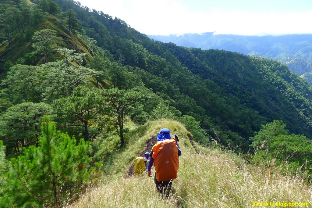
The first part of trek was passing by Gasgas river. A very wide and pristine river, proof of the waters cleanliness was that I tried to drink directly on the flowing water without resulting to any side effects to my tummy. Half of the day was spent cris-crossing this river, walking on it sides and sometimes climbing/walking on its walls. I remember there was one instance that my bag clipped on a rock, that I almost fell. I got so scared not because of fallling into the deep water but because my camera was not water proofed (not inside a plastic bag). If I had count correctly we crossed the water 8 times, the water was not that deep though since it had not rain for days. We were not able to use the ropes that we brought, but we did not mind since we were unsure on the rivers status until we got there. After the river it was all land, the trail was very steep with the trail most of the times hidden but overgrown grass. Proof that the trail is rarely used. The trail was most of the times rolling, with having huge ascents and decents. The trail is open by the way, with sights of Pine trees on most occasions. When we were almost at camp, I experience early signs of cramps on my thigh. With my long mileage of hiking, this was the first time I experienced this. I think the reason was that there was a quick change of temperature from the river, moving to the hike. If I recall correctly, we started hiking on land around noon, and the heat of the sun did not help either. In my previous treks, the river was mostly on the last leg of the hike. I guess my body was not used to this. It also did not helped that I was carrying 15kg load. Our sub group (meals) did not hire a group porter because we think the price is too high. (1000 Php a day). There were instances I was thinking if I made the right decision. Saulay camp was an open camp, the grass was also overgrown and the floor was not that flat. So expect to not have a good comfort on your back during the night.
 |
| Solsona City Hall |


 |
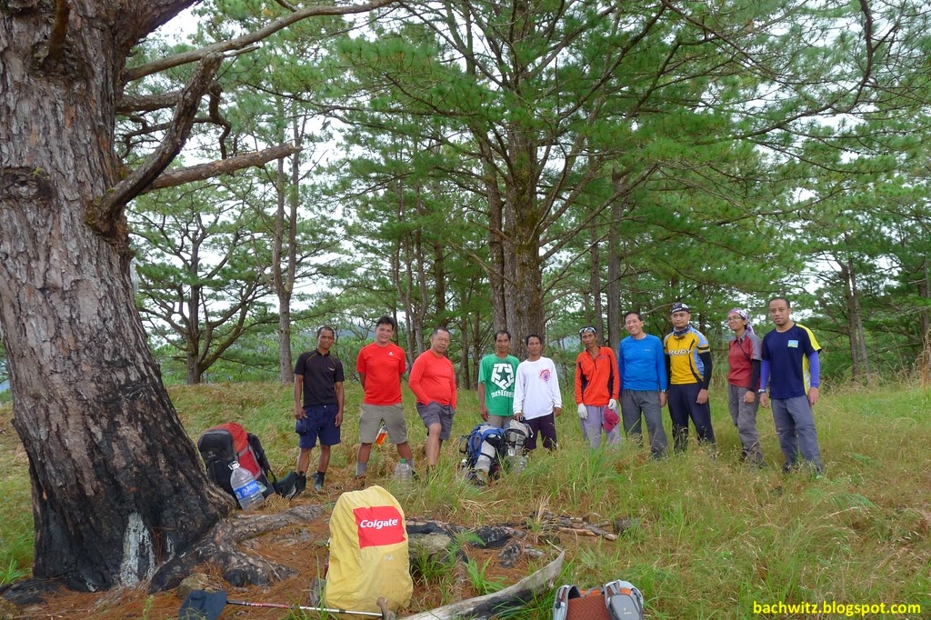
| The Group |
 |
| Bamboo Bridge |
 |
| Wow, Aga is with the group! |
 |
| One of the many river crossings |


 |
| Alien Spaceship |


 |
| The water is so clear and clean! |


 |
| The river where we went can be seen at the backdrop |
 |
| First Camp |
Saulay Camp to Pakpako
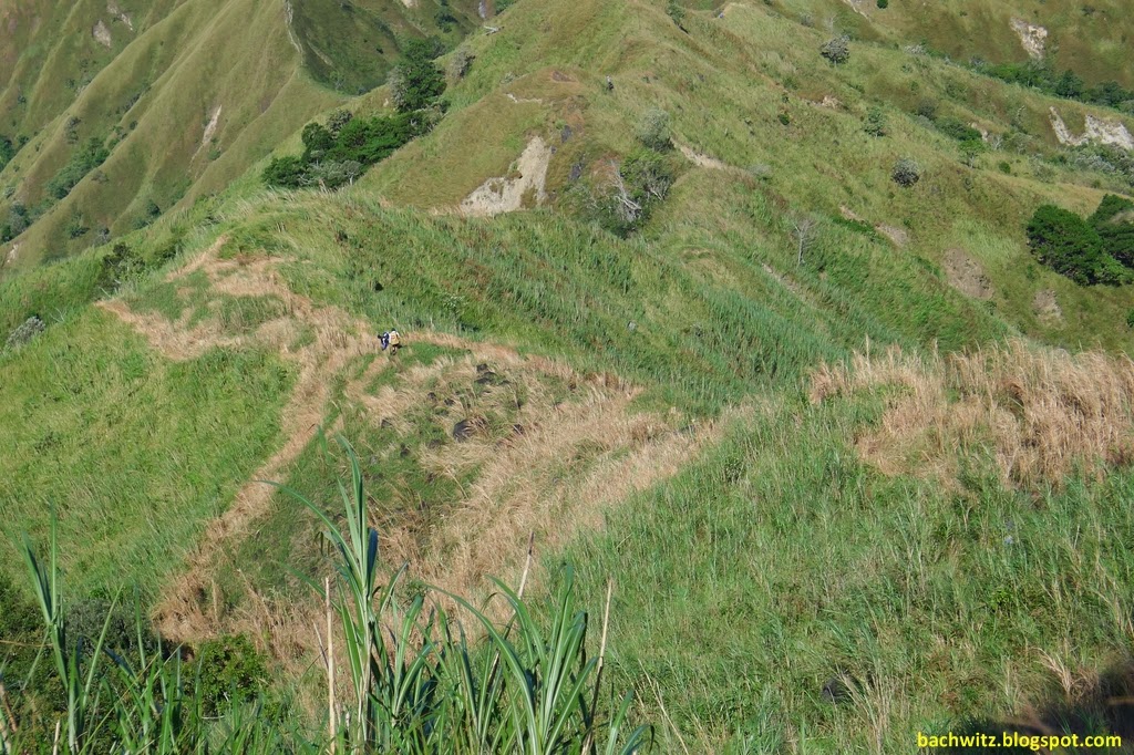
I was actually surprise to enter a mossy forest right on the early part of this trek. According to the guide during rain season Limatik are abundant here but there was none during our trek. Exiting mossy forest will get you to the place called crossing/junction. This is the part where the traverse trail will actually meet, you will see Bubuos camp to the east and Mt. Timarid to the west. For me this was the most dangerous part of the trek to summit, there was one trail where you have to walk on almost a cliff looking trail and the trail is covered with overgrown grass. The trail is very small that if you mistep you will surely fall. According to the guides on summer the trail is very clear, but not during our time. There were also incidents of climbers falling, but fortunately were saved before falling all throughout. As my friend calls it, its just like being on the spine of a dinosaur. I think the descent and ascent from mountain to mountain is 200-300 masl, unlike other northern mountains.
I can consider Pakpako the best camp for this hike. I think it can house several tents. The ground is flat and there is a water source nearby (actually there is in all camp that we used).

 |
| After Mossy forest |
 |
| Walking on a dinosaur spine |
 |
| Viewing Bubuos camp |
 |
| Mt Timarid |
 |
| No Trail |


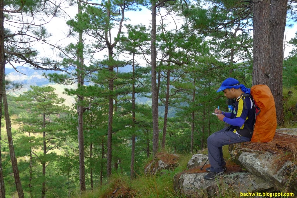 |
| Notes notes notes! |
 |
| Bubuos Camp |
 |
| A beetle |

 |
| Balbalite |
 |
| A rainbow at Pakpako camp |
 |
| Pakpako camp |
 |
| Sierra Design Country |

 |
| Where the summit? There!!! (not done in purpose) |
Pakpako to Summit
When the sun started to set. The wind started to blow hard. As the night progress, the wind was blowing harder. Was typhoon Yolanda mover here to the north? The wind was blowing hard that one of our tent was moved around 6 inches from its location. We were hoping for it to die down until morning. But when we woke up around 4am to the same weather... its was already evident that we had to cancel our summit assault. It was also drizzling, this is because of the cloud cover we saw on our way going up the day before.
 |
| Notice how the pine is being blown by the wind? |
 |
| We have to get out of the rain cloud |
 |
| The reason we did not get to summit |
Pakpako to Mt. Simagaysay camp
After a few hours of waiting if the weather was going to clear out. We made the decision to move out from Pakpako camp. The wind was still very strong and it was still drizzing hard. My hunch is that we were on a cloud cover. Returning to the junction/crossing was not difficult compare to yesterday except for the ridge-cliff I mentioned. From the crossing the next target was Mt. Timarid. For me this was the most challenging part of the trek. We have to descent on a ridge and which was partly reminiscent of mt. Guiting-guiting. And like going to Pakpako the descent and ascent altitude gain was big. Traversing to ridges with huge chunks of sharp stones. Then navigating to the very steep side of the mountain sidewards. I remember one very dangerous part, an area where landslide had happen. I looked down and I did not dare look another time. What made it more dangerous is that you have to walk to a very thin path, and it was very evident that the soil was not that intact and might give way anytime. On my way near the summit I was crawling on all four, plus there is no trail. After Mt. Timarid we pass by another mossy forest. Then Mt Simagaysay, the terrain is similar to Mt. Timarid albeit a bit easier. A few meters down is Mt Simagaysay campsite. This is the highlight of the climb that why it is called Sim-Tim Traverse (short for Simagaysay-Timarid). From what I know Sim-Tim is already considired a major climb, imagine adding Sicapoo to the two. I was really surprised to experience cold weather here at night. Even at just 1200 masl (Sim camp), it was measuring 18C on my watch inside the tent.
 |
| Dangerous part going back to Junction/Crossing |

 |
| Descent to Mt. Timarid Ridge |
 |
| Mt. Guiting like rocks |

 |
| Dangerous ridges to Mt. Timarid |
 |
| Assault to Mt. Timarid |
 |
| View of where we came from. The cloud covered is Mt. Sicapoo (notice 2 climbers at the bottom) |

 |
| Mt Timarid summit, Mt. Sicapoo covered in cloud. |
 |
| Descent to Mt. Simagaysay camp |
 |
| Post Birthday celebration of Bambi. Luckily after 3 days of hike, only the icing of the cupcake was gone. |
Simagaysay Camp to Solsona Dam.
After a few hours heading down we were greeted by the rolling ridge of Mt. Simagaysay. It was an open ridge With the grand view of Solsona, you can see Gasgas river at its grand. The wind is still strong in this place during our trek that it was very difficult to walk. There are times that we are force out of the the wind from the trail. After this place is the flat lands of solsona then Solsona dam.
 |
| Simagaysay Camp |


 |
| Super Windy Simagaysay Ridge |


 |
| Flat land at last! |
 |
| Curious cows |

Final Words
I can consider Mt. Sicapoo the most difficult climb in the north. Even one of the most difficult in the Philippines. But, due its its difficulty and distance from Manila, it is also one of the most beautiful and cleanest. Being an open trail mostly all throughout the hike gives a hiker a unforgettble view of the place. We are all in unison, that even not being able to go to the summit, we are very satisified with the climb. I guess this is one of the climbs that summiting is just a "plus" and you can still enjoy the hike even without it. Given I was not able to summit will I come back? Maybe but not soon.
So being fortunate of climbing Mt. Mantalingahan and this Mt Sicapoo, which one is more difficult? Manta still but only a few notches. It is because of the hunter traverse trail and the difficulty of summitting. According to the guides and those who were blessed of being able to climb the summit of sicapoo, summit day is one of the easiest. Also, Sicapoo can be done in 3 days (we did it in 4) but with long hours of trekking per day, while in Manta as of the moment it is still impossible. Unless the guides can find a good water source and campsite on the traverse side.
How about Mt. Halcon and Mt Sicapoo? There were two trek-mates who had climbed Mt. Halcon on our grouped (never been to Mt. Halcon yet). The experience is diffrent but the difficulty is just equal.
I would also like to take this oppurtunity to thank ODMG (one degree mountaineering group) for exploring this mountain and doing a good job of stewardship. Mabuhay kayo!
 |
| We got this from the Tourism officer of Laoag during our side trip. See how Mt. Sicapoo is now on the map? Good job ODMG! But sadly the officer have no idea of the mountain. haha! |
 |
| Hmmm. Mt Adams...... |
Nature-ral High Tips
- Tatay Emilio, is the main guide on this mountain. He is 74 years old but his strength and energy is as young as a 50. Though he has mastery of this mountain, he is not well verse in Tagalog. Patience is needed when talking to them. There was one instance that I was asking for our tarp that they carried, and it turns out they thought I was sending a message that they stole it. Lost in translation. ugh!
- I dont know how others do it, but I don't recommend trekking at night. I'm not against night trekking but Sicapoo is different, specially on rainy season that the grass is overgrown. You can easily get lost, or loose your footing. There are even instances that there is no trail.
- Is porter necessary? Much better if you can get a porter since the trek is very long. Specially if you are trying to do it in 3 days (buy why????).
- Is 3 days advisable? For me no, unless its not your first time in the mountain. You will miss a lot of good scenery. Also, don't do a climb for 3 days with trekking hours of 4 days. You will not just put group in peril, but the guides as well.
- In transitioning from the river to land, try to warm up first. I think this the reason I almost had cramps (Three others from the group also had cramps on the same location of the trek). The switch from water to land normally causes muscles to stiffen, well thats what I encountered. If you are in a hurry, maybe try to apply muscle ointment to warm it (salompas, bengay etc.)
- Since the highest camp was only ~1600 masl, I did not brought a sleeping bag. But the weather was colder than I thought. Maybe because its more north than the cordilleras. So if you have low tolerance to coldness, and you are climbing on the cold season, bring enough cold gear.
- Per ODMG, Sicapoo climbing season is November to May. I believe the best time to climb is between November to February, where there is less chance of rain (due to the river) and is the weather is cool (being an open trail). DONT climb on the rainy season, the river is huge and I can't imagine how much the water expand during this time.
Recorded elevation base on my Pro-Trek, all in MASL (meters above sea level)
- River - 180
- Saulay Ridge - 735
- Saulay Camp - 850
- Crossing/Junction - 1205
- Bubuos - 1365
- Balbalite - 1495
- Pakpako - 1590
- Timarid - 1495
- Simagaysay Summit - 1350
- Simagaysay Camp - 1185
- Plateau - 300
- Dam - 150
I just want to ask: Do you have any contact information for guides and porters?
ReplyDeleteHi, A lot has change since our hike. The guideship rules and contacts is not the same. So, sorry but I dont have one.
DeleteFor more info, you may refer to my updates.
http://www.nature-ralhigh.com/2015/01/philippine-mountains-mt-sicapoo-updates.html
thanks for visiting!